Underhill Interactive Map
Select location icons on the interactive map below for descriptions and images of historic locations in Underhill.
Click the ![]() icon on the upper-left of the interactive map to display the location menu.
icon on the upper-left of the interactive map to display the location menu.
Click the ![]() icon on the upper-right of the map to open full-screen in a new tab.
icon on the upper-right of the map to open full-screen in a new tab.
See https://tiny.cc/uhsmaptips for some tips on using this map.
Chittenden County 1857
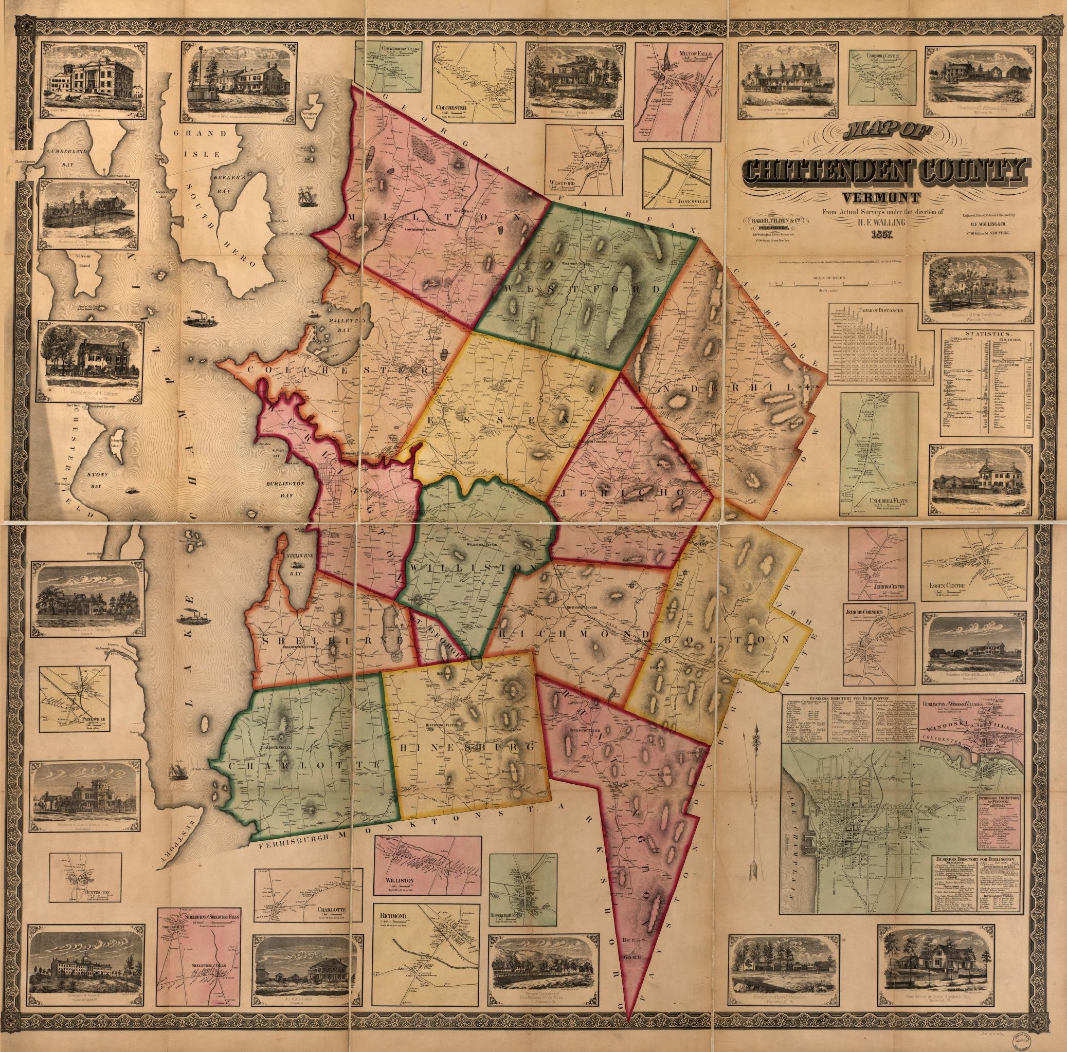
Boston : Baker, Tilden & Co., 1857. From the Library of Congress.
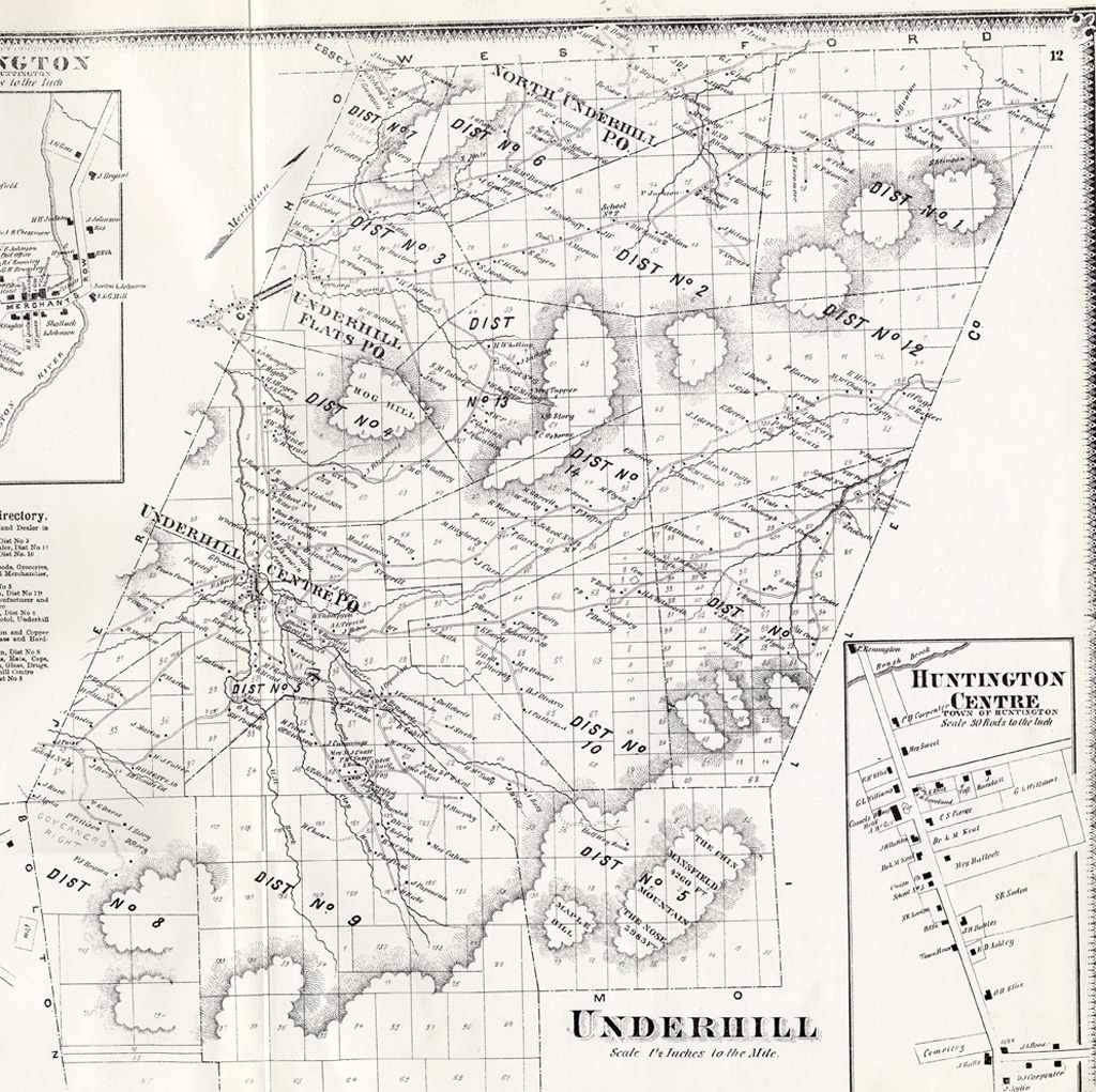
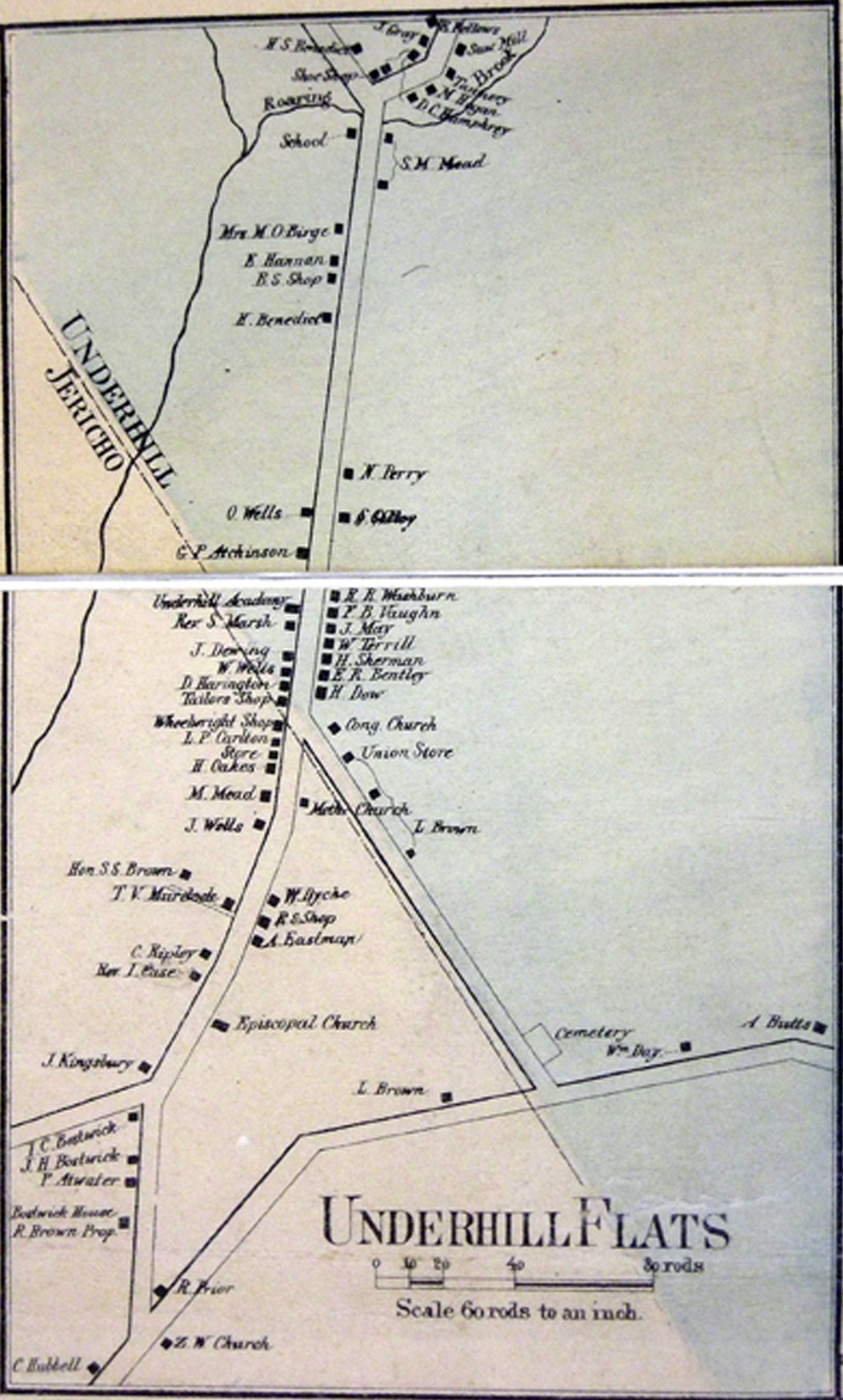
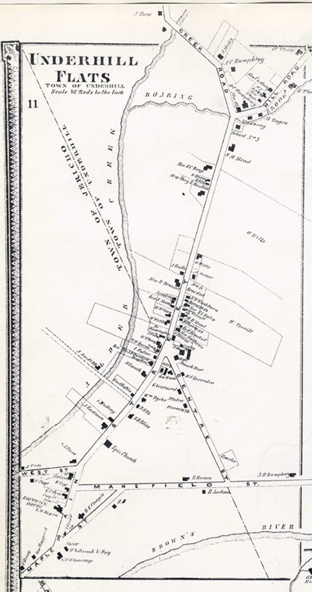
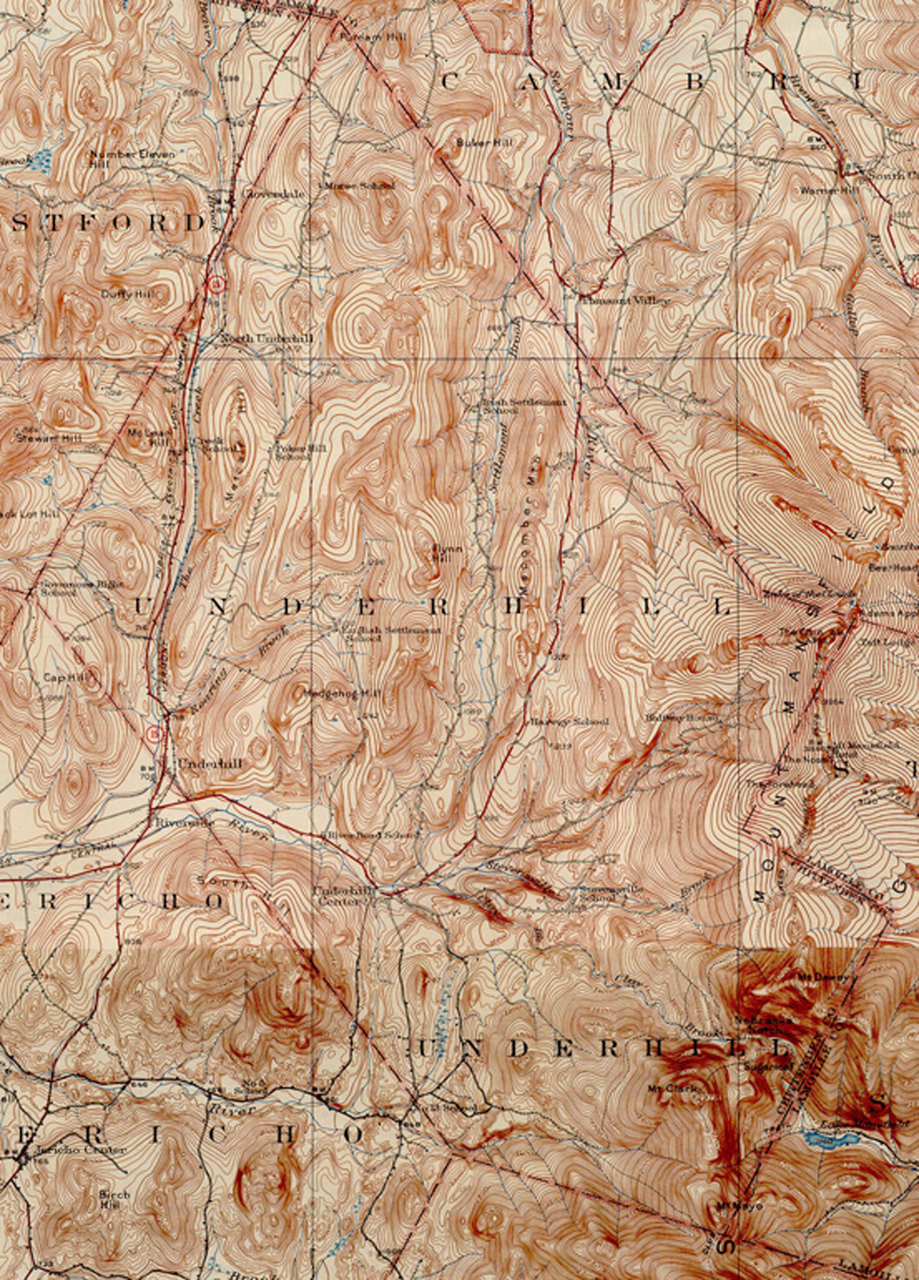
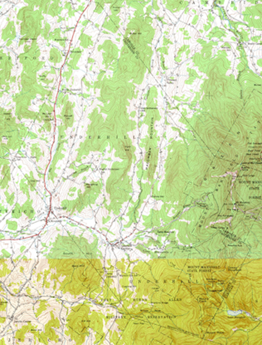
UVM Special Collections & Vermont Barn Census
UVM Special Collections & Vermont Barn Census
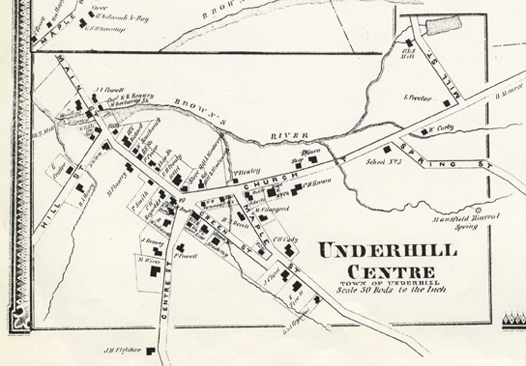
UVM Special Collections & Vermont Barn Census
UVM Special Collections & Vermont Barn Census
UVM Special Collections & Vermont Barn Census
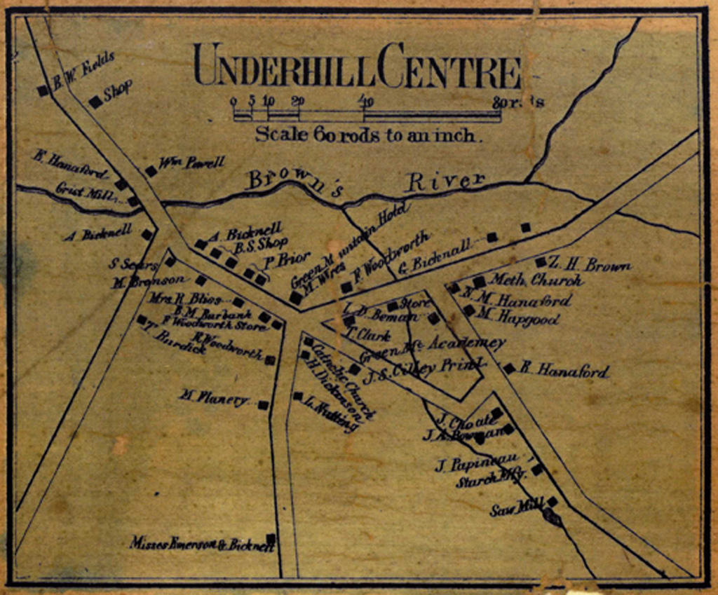
UNH Dimond Library & Vermont Barn Census
UNH Dimond Library & Vermont Barn Census
